
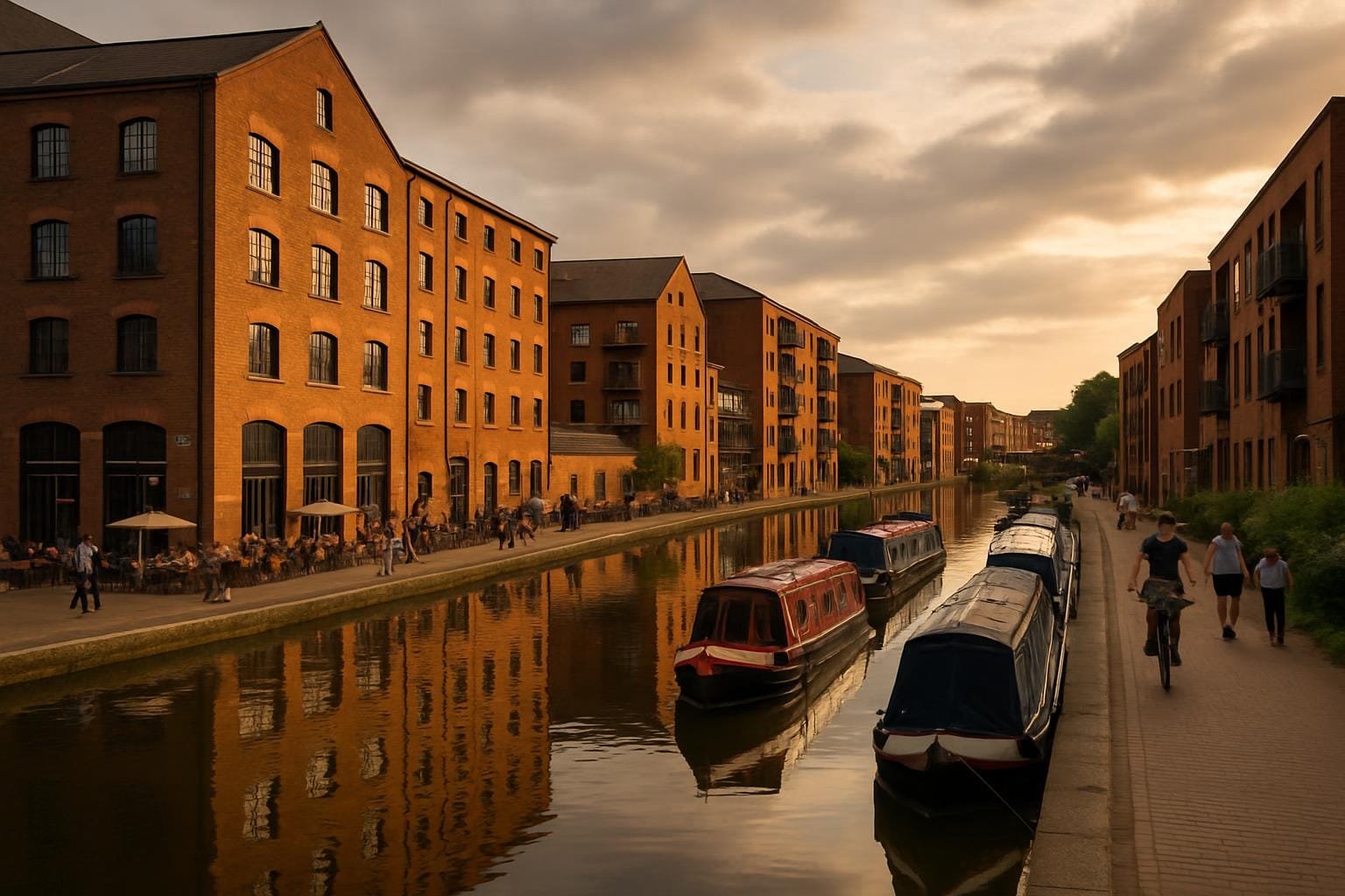
If you’ve grown up in the Midlands, as I did, canals are less “romantic waterways” and more “shortcut to the chippy if the towpath isn’t flooded”. It’s only in the last few years that I’ve started to see Britain’s post-industrial canal cities as places you’d actually plan a trip around, rather than drive past on the ring road. Old warehouses, wharves and lock flights that once shifted coal and clay are now carrying cyclists, joggers, kayakers and, increasingly, people staring at graffiti with serious expressions.
This isn’t going to be a hymn to industrial heritage or a gushing ode to street art. Some bits smell faintly of diesel and wet dog. Some cafés are overpriced. But if you like your UK trips with a bit of rust, brickwork and colour-splattered concrete, these old working waterways are worth your time.
I’ll start with Birmingham because, let’s be honest, the city gets a rough press. People picture the Bullring and Spaghetti Junction and forget that the canals form a kind of secret second city underneath all that. The first time I properly wandered them, starting from the Mailbox and looping out towards Digbeth, I realised why people keep banging on about “more miles of canal than Venice”. It’s a different mood, granted, but it does go on a bit.
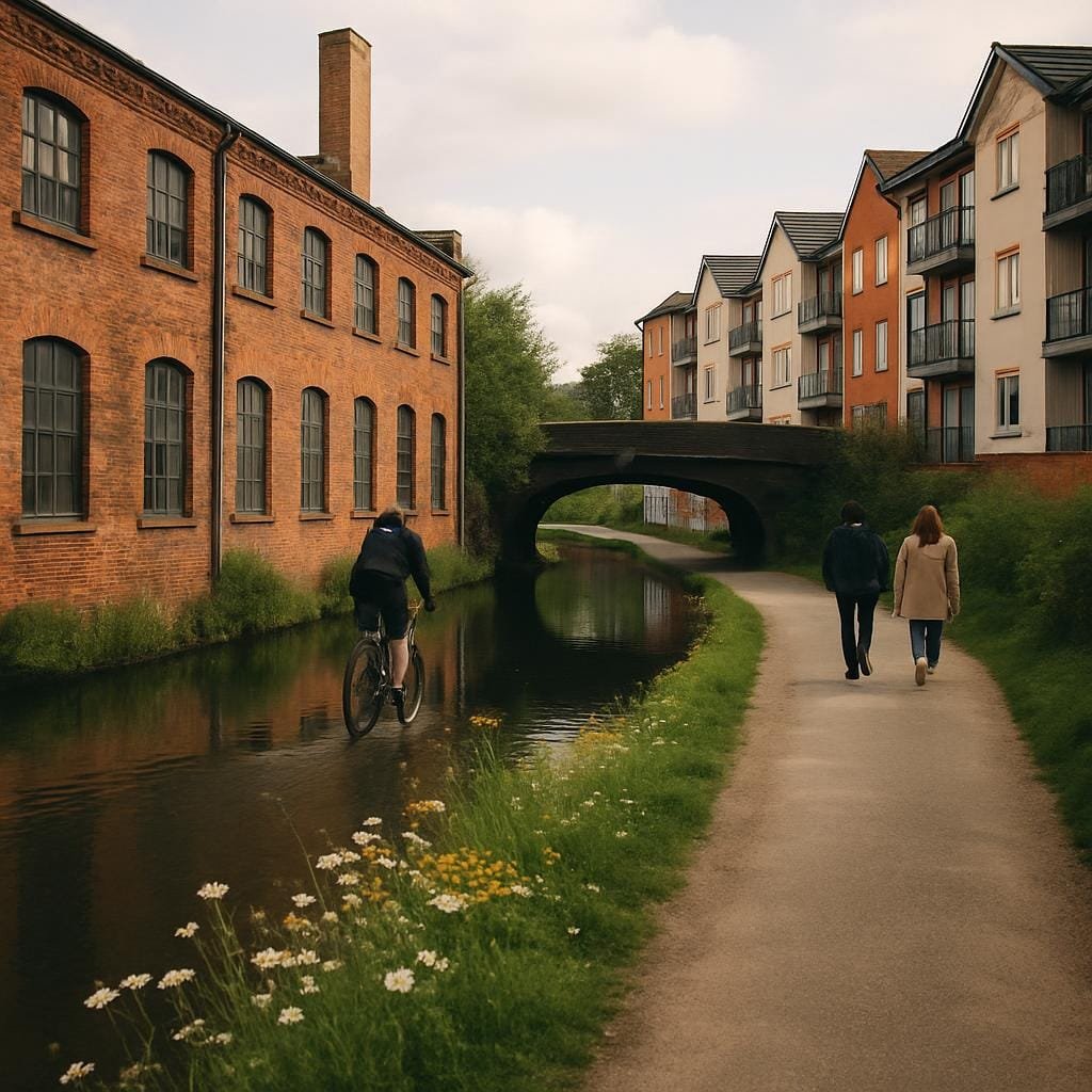
The stretch that feels most alive at the moment runs from Birmingham New Street down past the Mailbox, under the narrow pedestrian bridge by the Birmingham Canal Navigations, and then along the Digbeth Branch Canal towards where the old warehouses meet the street art.
Underneath the Pershore Street and Fazeley Street bridges you get layers of graffiti: tags, cartoon characters, big colourful murals, some of it clearly commissioned, some very much not. The railway arches around Gibb Street carry on the theme, particularly around the Custard Factory, where old industrial units now house independent shops and offices. One of the arches near Floodgate Street has a mural of a giant kingfisher that I half expected to swoop off the wall and steal someone’s sandwich.
And then there’s the contrast: on one side, warehouse brickwork and anonymous service doors; on the other, a bright pink canal boat converted into a bar, serving local beers to people in chunky trainers and very earnest beanies. I’ve ended up more than once at Digbeth Canalside when an event’s on – pop-up food, street art jams, that sort of thing – and it’s the only time I’ve ever queued for bao buns while a narrowboat chugged past blaring 80s soft rock.
If you’re coming in by train, New Street and Moor Street are both within a 10–15 minute walk of the canal at the Mailbox or Gas Street Basin. Gas Street is a good starting point: you can get down to the towpath via the steps near the Canalside Bar. Currently, the canals are free to access, obviously; the cost comes in what you eat and drink. A coffee at Medicine Bakery at the Mailbox will set you back £3–£4, and a pint canalside is rarely under £6 these days.
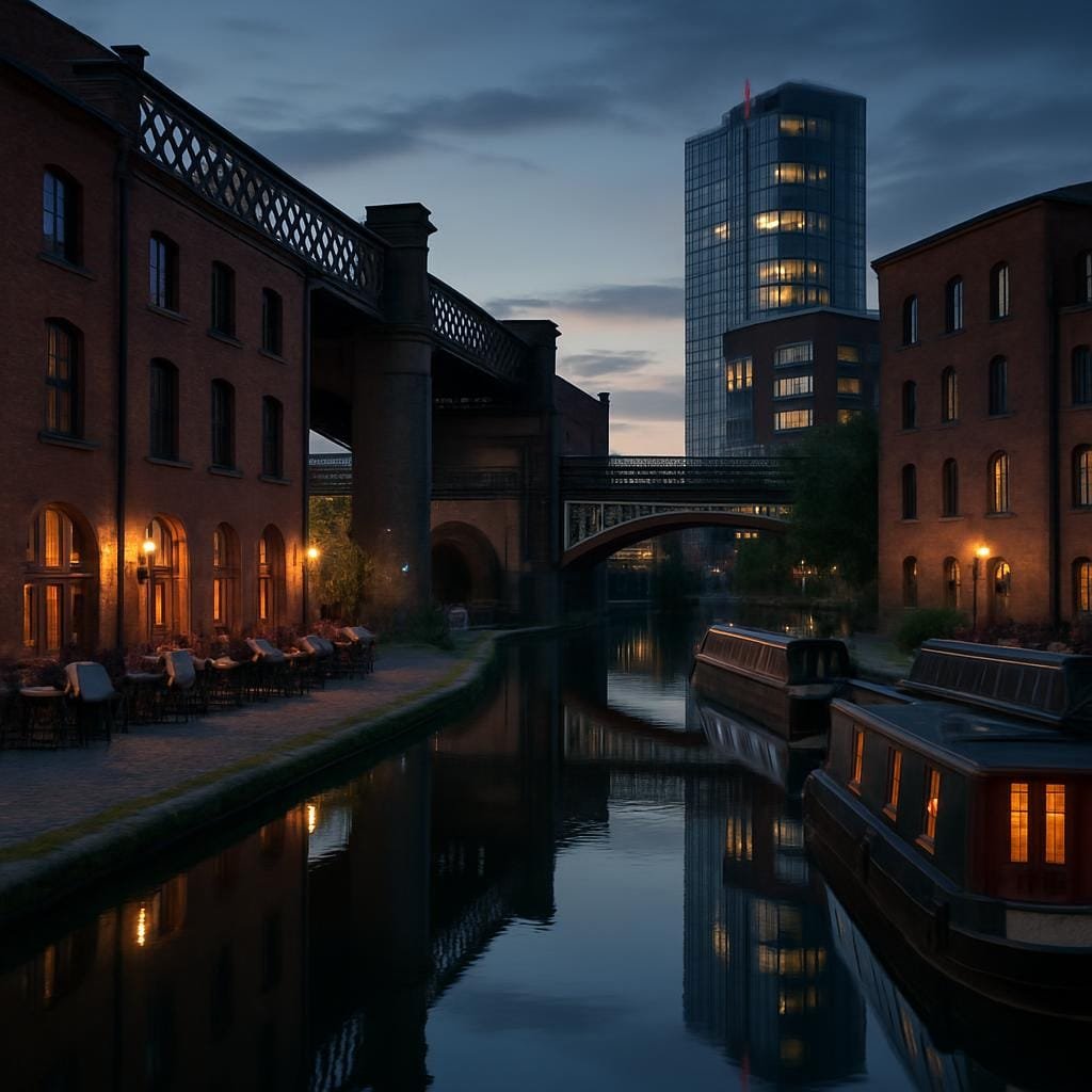
The best time to wander is late afternoon into early evening on a dry day. The underpasses can feel a bit grim in heavy rain and, in winter, they get dark early and quickly. Take a small torch if you’re nervous about stepping into mystery puddles. One thing a lot of people miss is the little loop towards the Roundhouse Birmingham, a restored canal-side building run by the National Trust and Canal & River Trust. Tours are around £10–£12 and give you a proper sense of how the canals worked as a freight system.
I’ll be honest, Birmingham canal walks have their off bits: you’ll pass some graffiti that’s more “bored teenager” than “urban artist”, and you may get the odd whiff of stagnant water. But that roughness is part of what makes Britain’s post-industrial canal cities feel real rather than stage-managed.
In Britain’s post-industrial canal cities, Manchester wears its history quite loudly. The Rochdale Canal and the Ashton Canal cut right through the city, past those brick mills that once defined “Cottonopolis”. The bit that hooked me was the stretch from Piccadilly Basin out along the Ashton Canal towards Ancoats and New Islington Marina.
At Piccadilly Basin, just off Ducie Street, you’ve got the water hemmed in by old warehouses that have been turned into apartments. Carry on east along the Ashton Canal and you start to see the regeneration narrative made visible in steel and glass: old red-brick mills with mural-covered gable ends, next to brand-new blocks with full-height windows and small, slightly apologetic balconies.
Under the Great Ancoats Street bridge, the canal gets a bit grim again – rubbish caught in the reeds, graffiti that’s more shouty than artistic. Then you pop out by New Islington Marina and it’s all narrowboats, waterside paths and people walking designer dogs they definitely didn’t rescue from the RSPCA. There’s a piece of street art under one of the nearby railway arches that always sticks with me: a teal-blue figure half-submerged, like they’re coming up for air through the brickwork.
Food-wise, Ancoats has gone from “nowhere anyone lived” to “every other person is a food blogger”. If you leave the canal briefly at the bridge by Cotton Field Park, you’re basically a few minutes’ walk from Rudy’s Neapolitan Pizza Ancoats. Last time I went, a margherita was about £7–£8, which for an area this hyped is surprisingly reasonable. The smell of dough and tomato follows you back to the towpath if the wind’s right, which is frankly cruel if you decided to “just have a walk” and not spend anything.
Getting here is easy enough: Manchester Piccadilly is a 5–10 minute walk from Piccadilly Basin if you follow the signs for Store Street and head down to the canal via the underpass. No admission charge, obviously – it’s a towpath – but if you fancy being on the water, the City Centre Cruises trips from Castlefield (different part of the network, but same city) cost from about £12 per adult for a simple cruise, more if you add food.
If you like things a bit quieter, go on a weekday morning. Saturday afternoons can feel like half of Instagram has decided to walk the same stretch. One thing a lot of people miss is the little side-step off the Ashton Canal into the backstreets of Ancoats to see the smaller, tucked-away murals on buildings around Bengal Street and Radium Street. They’re not always on the obvious “street art map” lists, but they give you a sense that this isn’t all corporate commissions.
It’s worth saying that Ancoats is still a work in progress. You’ll pass building sites and hoardings as well as fancy coffee shops. But that half-finished feeling is part of why Manchester belongs firmly among Britain’s post-industrial canal cities: you can see the transition happening in real time.
Glasgow might not spring to mind when you think of canal breaks, but the Forth & Clyde Canal is quietly impressive. It’s broader than a lot of English canals, with towpaths that feel almost like parkland in places, and it has a surprisingly strong street art presence.
I started at Spiers Wharf, north of the city centre, where former grain warehouses look over the water. The wharf buildings have been converted into flats and offices, but the bones are still there: stone arches, old loading doors, the odd rusted pulley still hanging about like it’s waiting for work. From here, if you walk west along the canal, you hit sections where underpasses and bridge abutments have been used as big concrete canvases.
Near Possil Road I found a series of murals that form part of the Glasgow Canal Project: abstract shapes, fish, birds, hints of local history. The paintwork is bright but the setting is calm – dog walkers, cyclists, the occasional angler staring moodily at the water as if willing the fish to cooperate.
Carry on west and eventually you reach the engineering showpiece: the Falkirk Wheel. It’s a bit of a stretch from Glasgow by towpath, so realistically most people go by train or car, but it’s the same waterway. The wheel is a rotating boat lift linking the Forth & Clyde with the Union Canal, and it looks like someone asked a Lego-obsessed child to design infrastructure. Boat trips on the wheel, where you trundle up and down in a large circular frame, are around £14–£16 for adults.
Food-wise, Spiers Wharf doesn’t have loads on the water itself, but a short walk back towards the city gets you to The Hug and Pint on Great Western Road. It’s a tiny music venue and vegan bar serving things like tofu baos and peanut curries; mains are usually under £12. It’s not canal-side, but after a long towpath walk in drizzle, a bowl of something hot and spicy within 15 minutes’ walk counts as practically adjacent.
You can reach the Forth & Clyde Canal from Glasgow Queen Street or Central in about 20–25 minutes on foot if you head north towards Cowcaddens and follow signs for Spiers Wharf; there are stairs up from the road to the towpath. Buses up to Possilpark and beyond give you options to walk different sections without retracing your steps.
The canal is free to walk or cycle. The Falkirk Wheel, if you make that trip, has a car park around £3–£4 for a few hours, and the visitor centre is free to enter; you only pay for boat trips or specific attractions. Best time to visit the Glasgow stretch is late spring to early autumn, before it gets too dark and slippery. In winter, the wind whips along the water in a way that makes you rethink all your life choices.
Most visitors miss the smaller pockets of street art around the Applecross Basin side arms – you have to take little spurs off the main canal, where old walls and sheds have become quiet galleries. No crowds, just colour and the sound of the occasional train thundering past in the distance.
Leeds has that classic Britain’s post-industrial canal cities thing going on: a waterfront that used to be pure freight, now all restaurants, flats and people in smart coats drinking cocktails they can’t pronounce. The Leeds & Liverpool Canal officially starts right in the city centre, near the railway station at Granary Wharf, where old brick granaries and railway arches share space with glass towers.
Granary Wharf is where you can see narrowboats moored right up against the arches that now house bars and restaurants. The Water Lane Boathouse is a favourite – pizzas around £10–£13, good local beers, and big windows looking over the water. Inside, it’s that exposed-brick-and-hanging-plants thing that every converted warehouse goes for these days, but the staff are friendly and they don’t look annoyed if you come in with muddy boots.
If you follow the canal east and then cut down to the River Aire, you get to Brewery Wharf and the Calls, where the river and canal functions blur slightly. The towpath here ducks under low bridges that have become canvases for smaller pieces of street art: stylised otters, geometric patterns, the odd slogan painted in a font that screams “art school project”. Some of it’s easy to miss if you stroll with your head up, so every now and then, look down and sideways.
The Leeds Waterfront Festival, usually held in early summer, pulls the whole area together: canal and river boat trips, live music, stalls along the water, and more kids in face paint than you thought existed in West Yorkshire. It’s one of the few times you really get a sense of how the waterways connect the city rather than just sitting quietly behind office blocks.
Leeds Station is directly above Granary Wharf; follow the signs for the South Exit and you’ll come out at the water within a couple of minutes. No entry fees here, just the usual city centre costs. Parking near the waterfront tends to be £3–£4 per hour in multi-storeys, so if you’re driving, look at slightly further-out car parks and walk in.
The towpaths are busiest during commuting hours and on warm evenings, so if you want photos without people in them, aim for a weekday mid-morning. In winter, the wind whistles along the Aire in a way that can turn even a short wander into an endurance sport, so bring layers.
Something most people miss: the short walk west out of the city along the Leeds & Liverpool Canal towards Armley. Within 15–20 minutes you’re away from the newer development and into proper old-industrial territory: factory walls, iron footbridges, graffiti that feels more DIY. It’s an easy way to see both sides of Leeds as one of Britain’s post-industrial canal cities in a single afternoon.
I’ll be straight with you – I didn’t spend as long on the water in Stoke-on-Trent as it deserves. Most of my time there has been in warehouses for logistics work, which is as glamorous as it sounds. But the bits I have walked along the Trent & Mersey Canal and the Caldon Canal made me promise myself I’d go back with more time and less paperwork.
Near Etruria, where the Trent & Mersey meets the Caldon, you’ve got the Etruria Industrial Museum and the remains of the old bone and flint mill. On steaming weekends (check their site for dates; entry is usually around £5–£7), they fire up “Princess”, the steam engine that used to grind materials for pottery. Standing on the towpath watching the mill chimney puff away, with bottle kilns in the middle distance and graffiti creeping along nearby walls, you get a strong hit of the area’s working past and its slightly scruffy present.
Walk the Caldon Canal towards Hanley and you pass under bridges where local artists have tried to cheer up the concrete: colourful panels, heritage motifs, abstract patterns. It’s not as polished as some big-city murals, but that’s sort of the point. This is a working canal: you’re as likely to see a boat delivering something useful as you are a leisure craft full of people in matching fleeces.
If you fancy refuelling, the Boston Brothers bar in Hanley isn’t far (though not canal-side) and does burgers around the £12 mark; or you can head to The Potteries Museum & Art Gallery café for cheaper sandwiches and, occasionally, oatcakes if you’re lucky. As a Shropshire lad, it pains me to say it, but Staffordshire oatcakes might be the best regional carb in Britain.
Stoke-on-Trent station is a 15–20 minute walk from the Trent & Mersey Canal at Etruria; you’ll probably want a map app, as signage isn’t brilliant. The canals are free to walk, but opening days for the Etruria Industrial Museum are limited, so check before you bank on going inside. Parking near Etruria is usually around £2–£4 depending on the car park.
The best time to walk is on a dry day outside of the football rush (Port Vale and Stoke City home games can affect traffic and trains). One thing a lot of visitors miss is the short loop past some of the remaining bottle kilns around Middleport and Longport – a proper reminder that Britain’s post-industrial canal cities didn’t spring from nowhere. The street art here is smaller-scale and more dispersed, but seeing a painted wall reflected alongside a row of kilns in the canal water is oddly moving.
Spend time on these canals and you start to notice repeated patterns across Britain’s post-industrial canal cities: old brick warehouses now full of tech companies and yoga studios; towpaths that double as art galleries; contraptions built to move coal and clay now ferrying craft beer and tourists.
They’re not spotless. You’ll walk past litter, weed-choked side arms and the odd shopping trolley in the shallows. You’ll also see herons fishing by graffiti-covered walls, street artists quietly working under bridges, and people using the water as a straightforward way to get from A to B without inhaling bus exhaust.
If you give these places a bit of time – a slow afternoon in Birmingham, a meandering day in Manchester, a drizzly walk in Glasgow, a weekend with trains that actually run on time – they start to knit together. Warehouses, canals, street art. Old work, new play. And somewhere between the smell of damp brick and spray paint, you realise that these aren’t the leftovers of industrial Britain; they’re some of the most honest parts of it still in motion.