
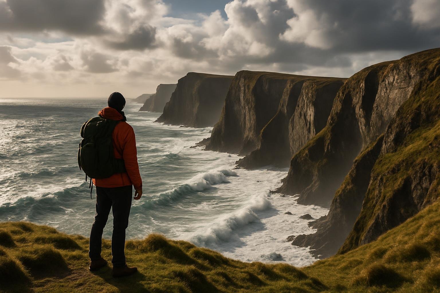
If your idea of coastal walking is a flat promenade and an ice cream that melts faster than you can lick it, this probably isn’t the UK sea cliffs travel guide you were hoping for. This is about the edges: the bits where Britain feels like it’s halfway thinking about throwing itself into the Atlantic. I’ve spent a good chunk of my so-called free time peering over cliff edges, getting rained on sideways and misjudging how many pasties count as “sensible fuelling”. Here are a few of the wildest sea cliffs I keep going back to – or, in one case, still haven’t quite done properly – with enough practical detail to stop you walking off something you shouldn’t.
Land’s End itself is a bit of a circus: paid parking, branded signpost photos, a vaguely confused Shaun the Sheep wandering about. I still park there sometimes because it’s convenient (around £7–£8 for the day, pay-on-exit), but the real reason I come back is the coast path heading east towards Porthcurno and Logan Rock. Within ten minutes you’ve left the theme-park stuff behind and you’re on a narrow path above turquoise water that looks suspiciously like someone’s edited Britain with a filter.
The cliffs here aren’t the highest in the country, but they feel exposed because the path hugs the edge, weaving around granite outcrops. In rough weather, the wind whips straight off the Atlantic and you’ll find yourself involuntarily adopting that slight sideways lean people do in old news footage from Blackpool. There’s a memorial stone to the wreck of the RMS Mülheim near Sennen side; it always makes me slow down a bit and remember this bit of coast has teeth.
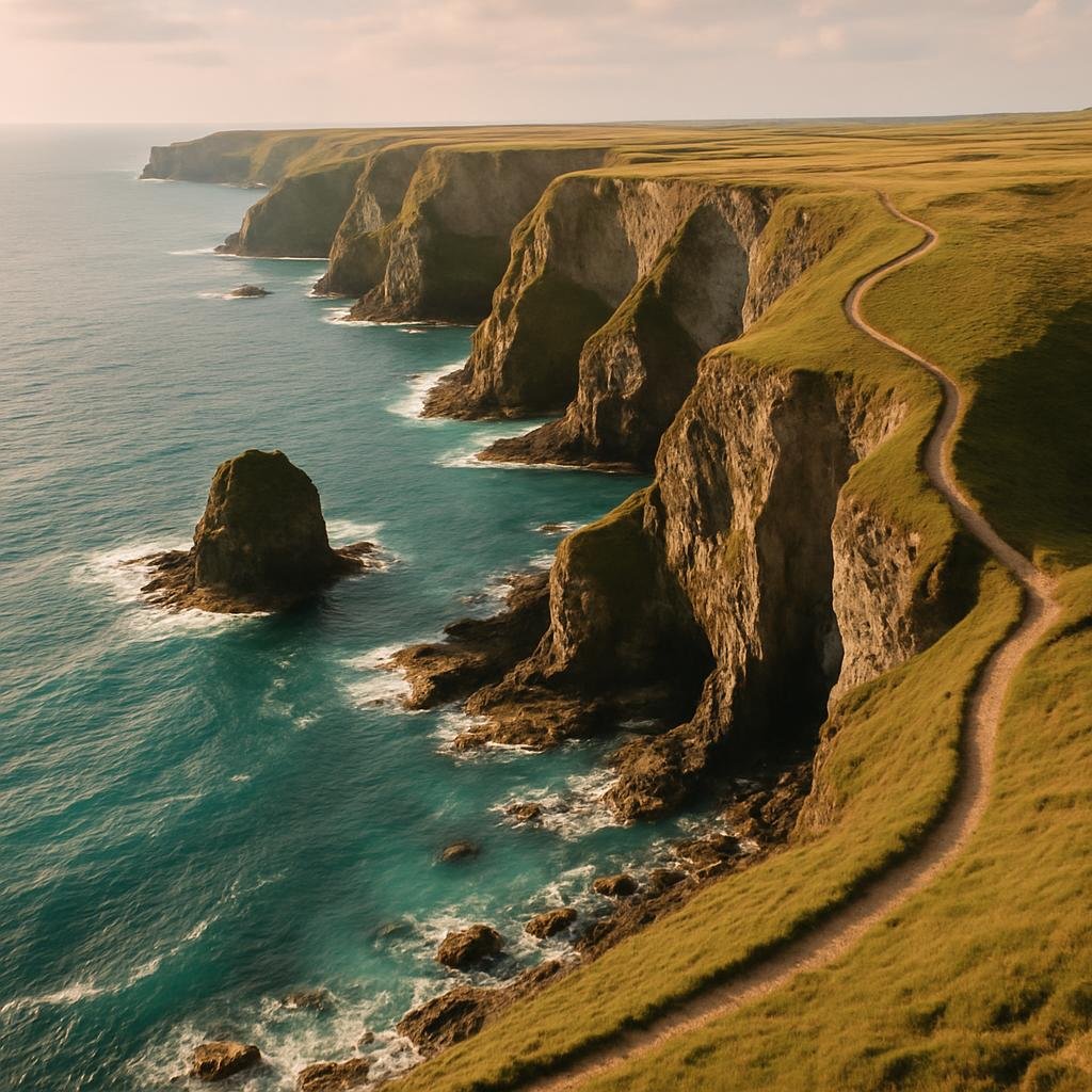
I first walked this stretch in late September, when the summer crowds had thinned but the South West Coast Path was still busy with long-distance walkers, knees taped up and determined expressions. I was the idiot in shorts who forgot that Cornish gorse is basically barbed wire with flowers. You’ve been warned.
Porthcurno itself is worth the effort. The white sand, steep surrounding cliffs and the Minack Theatre carved into the rock above feel almost too theatrical – which, to be fair, is quite literally the point. If you’re walking, you can scramble up to Minack from Porthcurno beach in about 15–20 minutes; entry is around £10–£11 for adults, but you need to book ahead in peak season or they’ll politely turn you away.

Worth knowing before you go (Land’s End & Porthcurno)
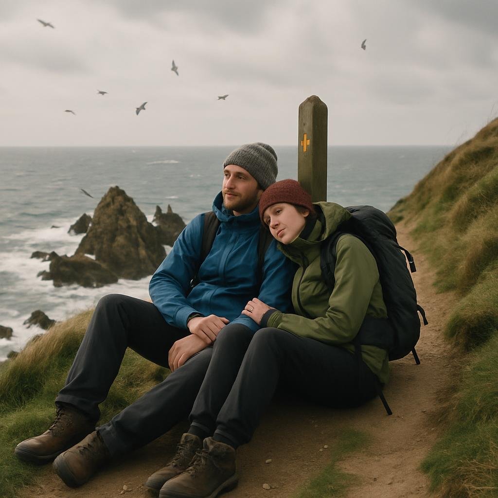
Food-wise, I usually end up with a pasty from Penwith House Café near the Land’s End complex (better than it looks from the outside, flaky pastry, decent coffee), or a coffee and cake at the Minack café with a ridiculous view if I’ve timed it badly and arrived mid-performance changeover.
Anglesey can feel quite flat when you’re driving round it – fields, low hedges, the odd caravan site. Then you get out to South Stack, west of Holyhead, and the ground suddenly remembers it can be dramatic. The cliffs here rise over 100 metres, layered with grey rock and thrumming with seabirds in season. There’s a lighthouse out on its own little island, reached by a bridge and a long run of concrete steps that do nothing for your dignity on the way back up.
Last time I was there was a windy April, the sort of day where the car door nearly comes off when you open it. I remember stepping out at the RSPB South Stack Cliffs reserve car park (about £3–£5 depending on how long you stay) and immediately hearing that constant, slightly chaotic racket of kittiwakes and guillemots below. Inside the visitor centre they were serving coffee and bara brith; outside, people were wrestling with tripods and very expensive binoculars. The RSPB staff will cheerfully point out where the puffins lurk on the ledges – usually May to July, if they’ve decided Anglesey’s catering is up to standard that year.
The lighthouse itself, run by Trinity House, usually charges around £7 for adults to go down, cross the bridge and have a look round when open. That walk down is fantastic: the cliffs crowd in, seabirds loop past your shoulder, and the sea slams into the rocks below with proper intent. The climb back up is… less fun. I’ll put my one allocated bit of self-deprecation here: I once had to pretend I’d stopped halfway “to look at the geology” when in fact my thighs had given up negotiations.

Worth knowing before you go (South Stack)
If you’re hungry afterwards, drive back towards Holyhead and duck into the Black Lion Inn in Llanfaethlu – low beams, decent cask ale and good fish and chips. It’s not especially cheap, but you’re paying partly to sit there with rosy cheeks from the wind and pretend you’re considering moving to Anglesey.
Cape Wrath is one of those names that sounds a bit theatrical until you’ve spent a day trying to reach it and started to suspect the place might be actively resisting visitors. The cliffs here, on the far north-west tip of Scotland, are some of the highest sea cliffs on the mainland, topping out around 281 metres at Clo Mor. Massive, sheer slabs of rock hammered by the Atlantic, with very few fences and a long way down.
Getting there is half the story. There’s no easy road access; instead you go to the jetty at Keoldale, just outside Durness, and take a tiny ferry across the Kyle of Durness. It’s usually under a tenner return (cash used to be king, but check their latest info), and feels like the sort of crossing where someone should be smuggling whisky in a crate somewhere. On the far side, a battered minibus meets the ferry and lurches you along a rough track across the MOD firing range – when it’s open – to the lighthouse.
I’ll be straight with you: the first time I tried this, the firing range was active and the ferry wasn’t running. I know this because of a large, very direct sign and a deeply amused local at the Smoo Cave café who said, “Aye, they’re dropping things from the sky today.” I made it on a later trip. The ride out feels like you’re leaving the rest of Britain behind. At the lighthouse, there’s often a small café set up in the old buildings; last time I went it was selling big mugs of tea, soup and homemade cake, cash only, with hand-written signs blu-tacked to peeling paint.
The cliffs themselves are extraordinary. You can walk north from the lighthouse towards Kearvaig Bay, keeping sensibly inland from the edge and picking your line over boggy ground. Then suddenly you’re looking across at vast vertical walls of rock, patterned with ledges of nesting seabirds. The wind here can gust without warning – this really isn’t the place for cliff-edge selfies. Kearvaig bothy lies further down, cared for by the Mountain Bothies Association and used by hardy Cape Wrath Trail walkers who look like they’ve seen things.

Worth knowing before you go (Cape Wrath)
If everything falls apart – ferry off, firing range closed – don’t sulk (much). Head to Balnakeil Craft Village near Durness instead. There’s the slightly ramshackle but excellent Cocoa Mountain café doing very serious hot chocolate and home baking. It takes the sting out of plans gone wrong.
The Dorset coast gets plenty of attention, but I have a soft spot for the slightly workaday feel of Portland. It’s a chunk of limestone joined to the mainland by Chesil Beach, with a prison, a still-operational port, and some of the most dramatic sea cliffs in the south.
Drive all the way down to Portland Bill and you’re suddenly at the end: red-and-white striped lighthouse, rock ledges, sea smashing into blowholes with surprising violence. The lighthouse has a visitor centre and you can usually climb to the top for around £10–£11 when it’s open, which is worth it for the wide-angle view of the cliffs running back towards Weymouth. There’s a slightly tatty amusement arcade, which I have a soft spot for, and the long-standing Lobster Pot café, where the crab sandwiches are decent and the tea comes in those thick white mugs every British café seemed to buy in 1983 and never replace.
Just west of the lighthouse, the cliffs rear up and the coast path runs close to the edge past the Pulpit Rock. This is old quarry country: you’ll see cut blocks, stray rails, and odd stone structures, including sculptures from the Portland Sculpture and Quarry Trust scattered along the inland route. On a windy day, waves slam into the undercut limestone and explode upwards; you can feel the impact under your boots.

Worth knowing before you go (Portland)
On the way back, I tend to stop at the Crab House Café near Ferrybridge on the mainland side. It’s not cheap, but the oysters come from about six feet away and you can eat looking straight across at Chesil Beach and the breakwaters.
Strictly speaking, the cliffs at St Abb’s Head National Nature Reserve aren’t the biggest in the country, but they punch above their weight. The coastline here is jagged and volcanic, slicing into the sea in a series of steep headlands and tiny inlets. On a breezy day the wind whistles up the gullies and carries the very specific smell of guano and salt straight into your sinuses.
There’s a National Trust for Scotland car park about a kilometre inland (a few pounds by machine, free for members), and from there you wander out past Mire Loch, which is peaceful and reflective enough that you slightly forget you’re heading towards vertical drops. Then it all falls away: cliffs stacked with nesting kittiwakes and guillemots, the sea smeared with white where it breaks at the base. In late spring, thrift and gorse spread across the cliff tops like someone’s gone at them with a pastel paint set.
The village of St Abbs itself has a working harbour and a fiercely proud diving community. There’s been local debate in recent years about marine protections and fishing, but the sea life here is still rich enough to attract people in drysuits all year round. For the rest of us, there’s the essential stop at Ebb Carr’s Café by the harbour: fish chowder or a bacon roll, strong tea, and a view of boats bobbing about while gulls give you the side-eye.

Worth knowing before you go (St Abb’s Head)
li>Most people miss: The short detour up to the old lighthouse buildings (St Abb’s Head Lighthouse is automated now). The view north towards Fast Castle and down to the jagged stacks is worth the extra puff.
Cliff walking in Britain sounds romantic until you’re three miles from the car, the rain’s going horizontally and you’ve got half a packet of wine gums for morale. A UK sea cliffs travel guide probably ought to mention a few dull-but-useful things.
Out on these cliffs, you’re reminded very quickly that Britain is an island clinging on. Roads, villages, motorways, supermarkets – they’re all behind you somewhere. In front of you is just air, water and rock that doesn’t care that you’ve got a tentatively booked dinner in two hours’ time.
A good UK sea cliffs travel guide doesn’t need to send you to the ends of the earth; our own edges do the job. Pick one of these places, pack more snacks than you think you’ll eat, and go and stand somewhere the map stops being green and turns pale and ragged at the margins. Listen for the birds, the wind, and that hollow, booming thud when a wave hits just right. It has a way of putting everything else back home into perspective.