
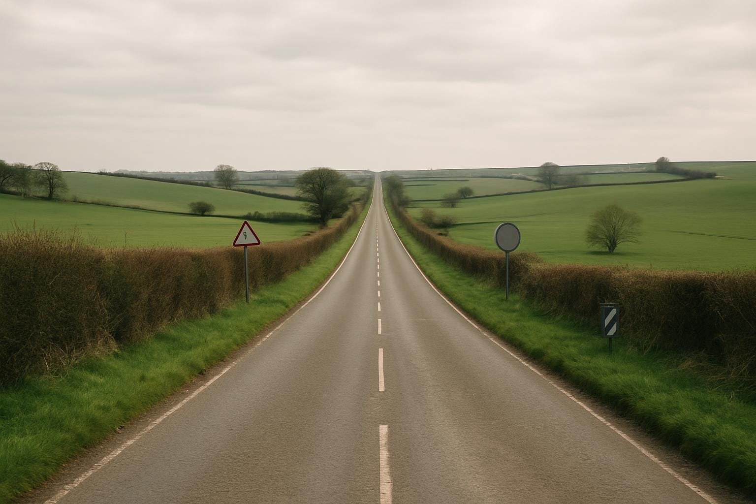
If you drive long enough in Britain with a half-decent OS map on the passenger seat, you eventually notice a pattern. Every so often a road will stop behaving like a British road. It stops wriggling around parish boundaries and old hedges and simply heads for the horizon in an unnervingly straight line. That’s usually the point where I start checking the map for those tiny words that still make me unreasonably happy: “Course of Roman road”. Once you’ve seen it, you start spotting Roman roads in modern Britain everywhere.
I first got hooked in my early twenties, leafing through Alfred Watkins’ 1925 book The Old Straight Track. Watkins was actually writing about “leys” – his idea that alignments of churches, barrows and ancient sites were part of a prehistoric system of trackways. The theory doesn’t stand up in the way he hoped, but I loved his obsession with straightness. He rhapsodised about lines running arrow-like across the countryside; I went out and found a very literal one in the A5 near Weedon Bec, and everything I thought I knew about “winding old country roads” was slightly upended.
The textbook version usually goes like this: before the Romans, Britons had muddy tracks and vague paths. Then the legions arrived with surveyors and discipline and suddenly you’ve got these perfect, straight highways across the island. That story is tidy. It is also wrong in several ways at once.
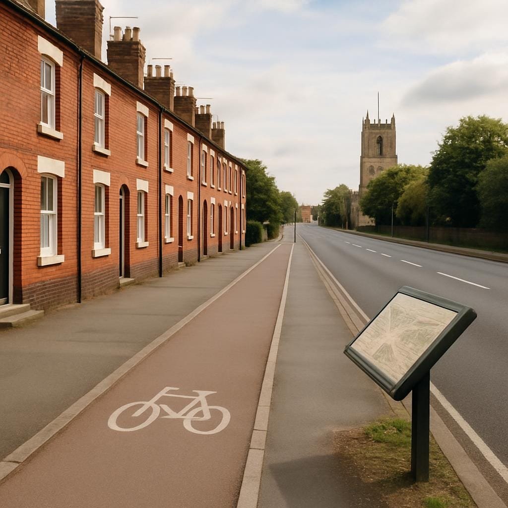
For a start, straightness wasn’t a Roman invention. Iron Age trackways like the Icknield Way and the Jurassic Way already followed reasonably direct ridges and dry ground. What the Romans did was formalise and hard-surface certain routes, and – in some cases – impose new ones with more engineering muscle behind them. Even then, they were not fanatics for straight lines at all costs.
Take the Fosse Way, running from Exeter to Lincoln. On a map it looks as if someone laid a ruler across the country in a hungover fit of honesty. On the ground it cheats constantly: straight in short bursts, then stepping sideways to avoid steep valleys or boggy ground. The stretch by Harbury in Warwickshire kinks around a hill in a way you only really appreciate if you walk it. Roman engineering was pragmatic. They tried to hold a straight bearing over distance, but they also liked dry surveyors and live pack animals.
I used to picture Roman surveyors as solemn men in togas peering through high-tech gear. Then I read about the groma – a simple cross of arms on a pole with weights hanging down – and the image got less heroic and more relatable. Somewhere on what is now the A38 near Burton upon Trent, a cold, damp man once squinted along those hanging plumb lines and decided this was how the road would run. Two millennia later, we still queue in traffic on his line.
A Roman road in modern Britain can feel oddly abstract – a line on a map, a name in a heritage listing. It helps to remember what it was actually like to use one.
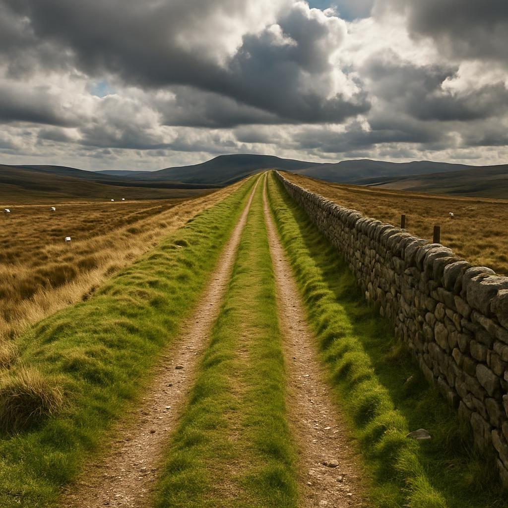
The classic structure, at least on major routes, went something like this:
That all sounds very technical until you imagine a cobbler from a village near Cirencester trudging along Ermin Street in AD 180 with his pack. On a dry May morning he’d be grateful for the hard surface and the way the road lifted him a little above the wet clay of the fields. In a February sleet storm, the same straightness would be demoralising – mile after mile with no shelter, no bend to create the illusion you might almost be there.
We know quite a bit about traffic. Wheel ruts have been found on excavated Roman road surfaces near places like Radcliffe-on-Trent, showing repeated passage of carts, some with axles standardised enough that historians have argued about “Roman gauge”. Ox carts, pack mules, cavalry patrols, civilian travellers, imperial couriers with their leather wallets of orders – all of them pressing that surface down, wearing it out, forcing local officials to organise repairs.
One of my favourite details is from Vindolanda, the fort just south of Hadrian’s Wall. In the famous writing tablets, there are complaints from soldiers about shoe supplies and poor-quality footwear. You don’t grumble about sandals unless you’re spending a lot of time on hard surfaces. A barefoot Briton stepping onto a metalled road for the first time in the first century AD would have experienced it in their tendons and calves long before they understood anything about empire.
It’s tempting to talk about Roman roads purely as engineering. But the straight lines did something to people’s heads as much as their feet.
Imagine you’re a potter’s apprentice from a small settlement near modern-day Leicester around AD 220. Before the Romans, your mental map probably centred on a web of trackways to the nearest hillfort, the best grazing, the local sacred spring. Journeys were slow and seasonal. Then you find yourself on the line of the future A47, on the road to Ratae (Leicester) and beyond. Ahead of you, the road doesn’t curve out of sight in a friendly way; it insists that there is something beyond the next ridge and the next. You can see distance.
Archaeologists have traced the distribution of certain pottery types, such as Oxfordshire red-slipped ware in the third century, and found they follow road networks with suspicious obedience. A household in a village along the line of Watling Street could eat off the same style of dishes as someone in Londinium or Wroxeter. That doesn’t sound dramatic until you think about what it means for taste and aspiration. Straight, hard roads made it simpler to send fashion, food and ideas along predictable corridors.
They also made taxes easier to collect. The imperial state cared very much that farm surplus, mined lead, and later on, recruits for the legions, could reach where they were meant to be on time. A farmer’s teenage son from somewhere near modern Grantham being marched along Ermine Street towards York to join a legion would have had a lot of time to think about whose road he was using, and for whose benefit.
The old story goes: Rome withdraws in the early fifth century, everything collapses, and the roads fall into disuse and ruin. If you’ve walked the line of the Roman road across the Lincolnshire wolds, with its clear raised agger still crossing fields, that “ruin” part starts to feel suspect.
Roads are stubborn things. Stones slump, ditches fill, but alignments cling on. In the early medieval period, long-distance administration did shrink. Some stretches of road were probably robbed for building stone. Yet charters from the seventh to the ninth centuries talk about “streets” or “strets” as estate boundaries – almost always Roman roads.
There’s a charter from AD 972 in Worcestershire, for example, describing land “to the great street which runs east and west” – almost certainly a Roman line. The people using that document weren’t thinking in terms of classical engineering; to them it was just “the big straight one” in a world of lanes.
For everyday folk, the change was practical. A Saxon farmer might still drive pigs along a stretch of old Roman road to woodland pasture, because why fight your way through clay when someone else hard-packed a surface for you? But traders could no longer rely on tax-funded maintenance. A wagoner from a small hamlet sliding into an unrepaired rut in November rain would feel the imperial retreat in his axle before he got philosophical about it.
Over time, some Roman lines became parish boundaries; others turned into holloways as traffic shifted onto parallel tracks and the old agger eroded. A few were half-swallowed by ridge-and-furrow fields. You can stand on a small section of exposed Roman road at Blackpool Bridge in the Forest of Dean today and see medieval ploughing ridges lapping at it like waves against a sea wall. People kept trying to overwrite the line, and the line kept reasserting itself.
If you want to see the Roman network still working, look at a driver’s atlas. The A5 from St Albans through Dunstable and Towcester to Shrewsbury, the A2 out of London towards Rochester, long runs of the A1 – these are Roman roads in modern Britain hiding in plain sight. Or not hiding very well, if you’ve ever driven the maddeningly straight B4455 Fosse Way between Cirencester and Leamington.
When the turnpike trusts of the eighteenth century started improving routes, they regularly chose the old Roman lines. Partly because the straightness was good for travel, partly because they didn’t have to negotiate rights of way from scratch – the route was there, legally and physically. So you get another layer of toll houses, mileposts, and inns built along a skeleton that was already more than a thousand years old.
In the industrial period, that skeleton stiffened again. The Midland Railway in the nineteenth century deliberately kept close to Watling Street for certain sections. Canal engineers used Roman alignments as reference lines across complicated ground. A Midlands carter in 1830, hauling coal along the turnpiked A5 past Hinckley, and a Roman soldier trudging the same way in AD 150, would both have cursed the long exposed stretches in much the same language, if not the same grammar.
The human detail doesn’t stop in the past. When the M1 was being driven up through Northamptonshire and Leicestershire in the late 1950s, it had to dance awkwardly around known Roman sites near places like Huncote and Leicester Forest East. Somewhere in the archives of the old Ministry of Transport there are memos about drainage and gradient that quietly acknowledge another set of engineers got there first.
If you want a neat intersection of ages, stand (carefully) on a footbridge over the A38 near Derby. Lorries roar along a line that runs almost exactly on the course of Ryknild Street, the Roman road that once linked Gloucestershire to South Yorkshire. A few hundred metres away, the modern estate roads loop and curl, ignoring it completely. Planning departments have more freedom than Roman surveyors ever did, but the long-distance trunk still follows the old command: straight ahead.
One thing the usual Roman road story rarely mentions: they were dangerous. Modern Britain tends to romanticise them – heritage boards, Latin names, maybe a little cartoon legionary. The people using them had a more ambivalent relationship.
Because they were fast, they attracted people who wanted to move quickly. Couriers, traders… and bandits. Late Roman law codes from Gaul and Italy talk about measures against robbers preying on road users; Britain wouldn’t have been an exception. If you were a travelling weaver with a pack of cloth heading along Dere Street towards Corbridge in the third century, you wouldn’t just be thinking about blisters. You’d be calculating where you could safely stop, whose farmhouse you might be allowed to sleep near, how visible you were on that high, straight line.
There was also the business of maintenance. A heavily used metalled road needs constant small repairs. In some provinces we know local landowners were compelled to keep sections in order. Imagine being a villa owner near modern-day Bath in AD 280, already struggling with labour as the imperial economy wobbled, and being ordered to supply men and materials to patch potholes on a road whose primary purpose was to move imperial tax collectors and troops. The clean, engineering story about “Roman roads” quietly erases all those resentful days of carting gravel.
Even the idea that they were purely Roman is over-simplified. Excavations near High Cross in Leicestershire, where Watling Street meets the Fosse Way, have found evidence of earlier trackways underneath the Roman surfaces. The legions didn’t march into a blank map and etch their geometry; they formalised, upgraded and sometimes redirected what was already there. Calling them “Roman roads” risks writing out the unnamed labourers before and after the empire who kept those lines in use.
The moment this all became less abstract for me wasn’t in an archive; it was on a scrappy stretch of agger near Little Chester, just north of Derby. The Roman road from Derby to Chesterfield runs through back gardens, industrial estates and a golf course. There’s a short right-of-way where you can still see the raised line, rough with grass and nettles.
I was walking it on a muggy August afternoon, trying to picture legionaries, and failing. What came to mind instead was a woman from the late fourth century, maybe from the vicus (civilian settlement) near the fort, trudging north to visit family with a toddler in tow. Same sticky heat, same insects. Same straight, relentless line that refuses to make your progress feel any quicker, however hard you walk. Her shoulders, my shoulders, both slightly hunched against weather and distance.
You don’t need imagination for the next bit: as the centuries passed, mediaeval packmen used the same line to carry Derby cloth north. Then later, drovers moved cattle along parts of it towards the markets. Eventually, someone laid tram tracks nearby, then tarmac. Each generation layered its own devices of movement on that stubborn route.
Once you start thinking like that, Roman roads in modern Britain stop being quiet textbook relics and start feeling more like pressure marks – the places where power, trade and everyday effort have pressed hardest into the ground. They shaped how people thought about distance and direction, how often they saw strangers, how gossip and religious ideas and coinage moved. They still shape how you and I drive, even when we don’t realise we’re following them.
If you glance at a straight stretch of the A5 or A2 today, you’re not looking at a Roman survival in a glass case. You’re looking at a busy, slightly battered compromise between ancient survey lines, medieval route choices, eighteenth-century toll calculations, and twentieth-century traffic counts. Somewhere underneath all that, there’s a memory of a surveyor with a groma, a local labourer with sore hands, and a lot of reluctant taxpayers.
That’s why I keep going back to them. Not because they’re neat, but because they aren’t. The straightness is real enough; the story that produced it is anything but straight.
If you want to chase this further, the old but still useful web project Roads of Roman Britain maps known routes, and the Roman Baths Museum in Bath has a solid overview of road construction. But the best introduction is still a good OS map, a suspiciously straight B-road, and the sense that under your wheels – or your feet – other people have been arguing with that same straight line for nearly 2,000 years.