

I didn’t care about the Domesday Book at university. It felt like admin: lists of manors, taxes, plough-teams. The sort of thing someone in a beige cardigan would get very excited about in a seminar while you wondered when you could go to the pub.
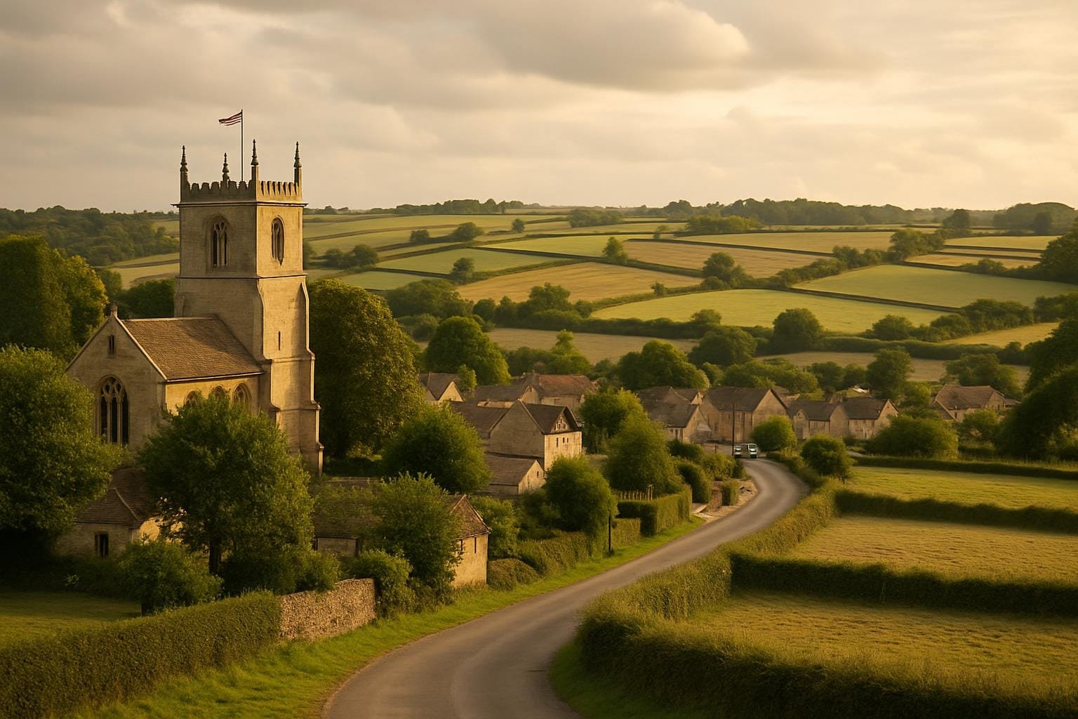
That changed the first time I went to a village specifically because it was in Domesday. This was in my late twenties, when I was working in a museum and trying to get my head around how you make a millennium-old document feel real to visitors. I took the train to Ely, hired a bike and rode out to a place called Little Thetford, which appears in the survey of 1086 as “Tedforda”. On paper: a small holding, a handful of villagers, some meadow. In person: low fields, the smell of wet earth, the church tower as a marker above it all.
Something clicked. The phrase “Domesday Book sites in England” stopped being an abstract category in a guidebook and turned into “this exact ditch, this curve in the road, this awkward modern housing estate dropped onto a medieval field pattern”. The big royal survey suddenly came with mud on its boots.
One of the standard textbook lines is that William the Conqueror ordered Domesday “to find out what he owned”. That’s not wrong, but it’s the kind of explanation that leaves out most of the human mess.
The survey was commissioned in 1085. William was an ageing conqueror worried about a potential joint invasion by the Danes and his own discontented barons. He wanted to know exactly who held what land, how much it was worth, and what he could squeeze out of it in taxes or soldiers. Royal panic translated into questions like:
It’s all maddeningly impersonal. No names for most ordinary people — just numbers. In the entry for Derby (I live about half an hour from there), the record in Great Domesday Book notes 243 burgesses “now” and 140 “then” (then = before 1066). That’s the Norman conquest reduced to a before-and-after headcount.
But if you go to Derby and walk from the cathedral down to the river, you are roughly tracing the space that those burgesses occupied. The higher land where the cathedral stands was already the defended Saxon town; the streets sliding down towards the Derwent were lined with plots that later became medieval burgage plots. The survey number starts to feel like people when you realise it means over a hundred extra families trying to squeeze into that area in twenty years, finding room for houses, hearths and pigs.
The part that’s usually flattened in school history is the word “waste”. In Domesday, especially in the North and Midlands, you see it over and over. Staffordshire’s entries are full of it. Much of Yorkshire. Huge parts of what is now County Durham. The simple story you get taught is “the land was declared waste after the Harrying of the North”.
The Harrying of the North was William’s brutal series of campaigns from 1069–70, aimed at crushing resistance and making an example of the region. Contemporary chroniclers like Orderic Vitalis talk about villages burned, crops destroyed, people dying of hunger.
Domesday quietly bears that out. Take the entry for a manor at Flockton in Yorkshire. Before 1066 it was valued at 20 shillings. In 1086: “waste”. No income, no taxable value. A flat, bureaucratic word that probably meant empty hearths, orchards gone wild, and fields reverting to scrub.
Stand in some of these places now and the word still has a cold ring. A few years ago, I walked part of the route between York and Helmsley. The Domesday entries for several places along the way — like Bulmer and Hovingham — record sharp drops in value. You move through gentle, well-farmed countryside, but if you know the figures, you also walk through an economic crater where people once counted in tax rolls had vanished or been reduced to such poverty that the manor was effectively written off.
It’s tempting to imagine “waste” as empty moorland. The reality: someone kneeling in a hut trying to grind the last handful of wheat, knowing the lord’s reeve will come round and still demand something. No one in the Exchequer cared that your children were thin. They cared that the manor that had yielded one pound a year now yielded sixpence, and that meant you were officially a problem, not a person.
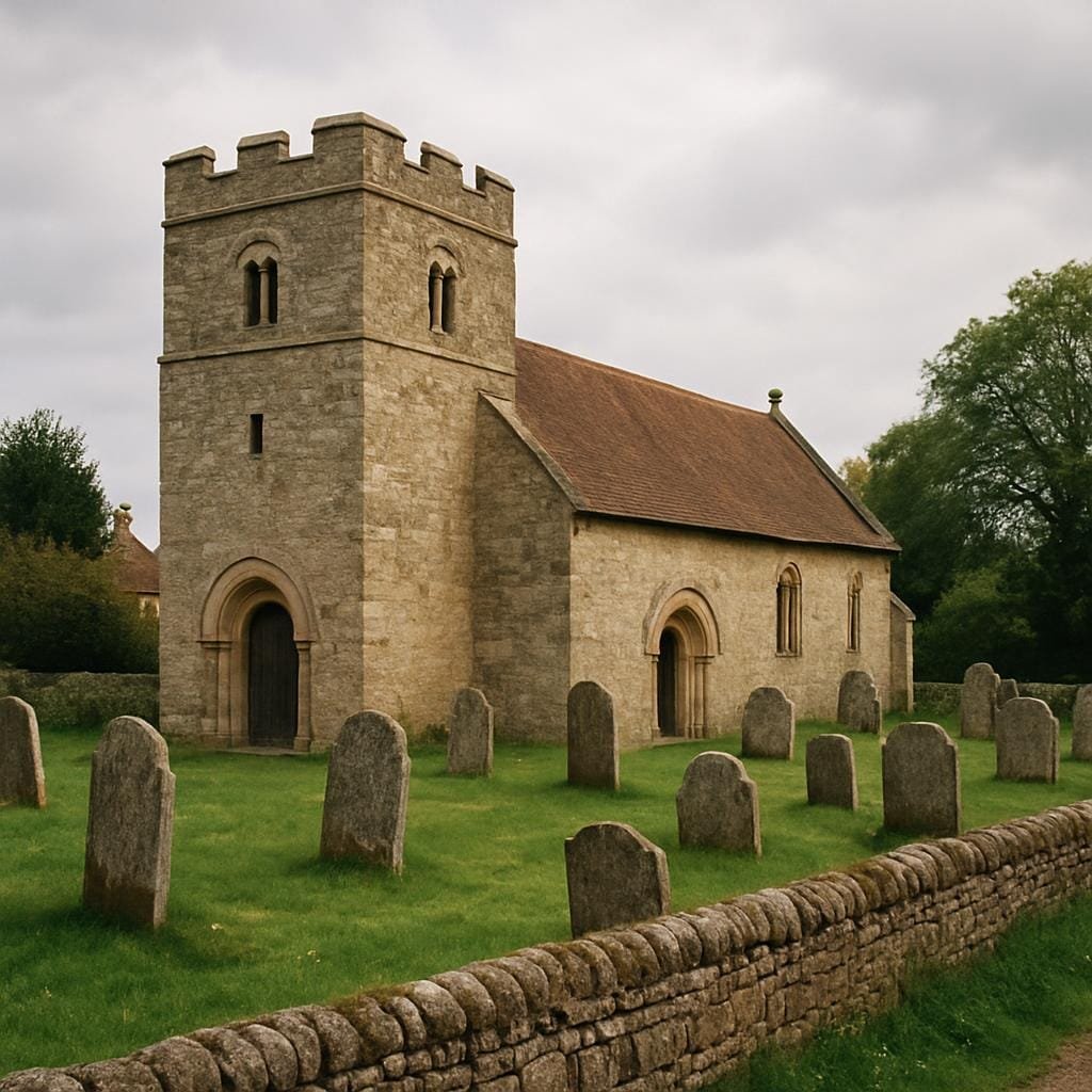
Reading Domesday at a desk is one thing. Walking through Domesday Book sites in England is another. The text starts to match up with ground-level details. That’s when the survey stops being a record of landholding and starts to feel like a kind of topographical ghost story.
Ely’s entry in Little Domesday (the separate volume covering Norfolk, Suffolk and Essex) records extensive lands held by the abbey, plenty of meadow and pasture, and a lot of people whose labour went to keep the monastic machine running.
When you walk from the railway station up to the cathedral, you’re literally climbing onto what was once an island in the fens. In 1086, the marshes around it were busy with people cutting reeds, fishing, and tending the cattle that fed the abbey community. The survey records fisheries and eel-rents — yes, rents paid in thousands of eels. That’s the sort of detail I wish I’d been told at school. “Give me 10,000 eels a year” is a line from a medieval charter that tells you more about diet, transport and power than any neat paragraph about “feudal obligations”.
On a foggy day, Ely still feels slightly detached from the land around it. When you read that the abbey’s estates made it one of the richest institutions in England, it helps to picture the number of villagers in little fen-edge settlements cutting peat in wet boots while the monks prayed in relative comfort up on their hill.
Living in Derbyshire means I can use the Domesday entries almost as a different version of Google Maps. Places I drive through on the A515 — Ashleyhay, Wirksworth, Carsington — appear in the survey, usually as small holdings with a handful of households.
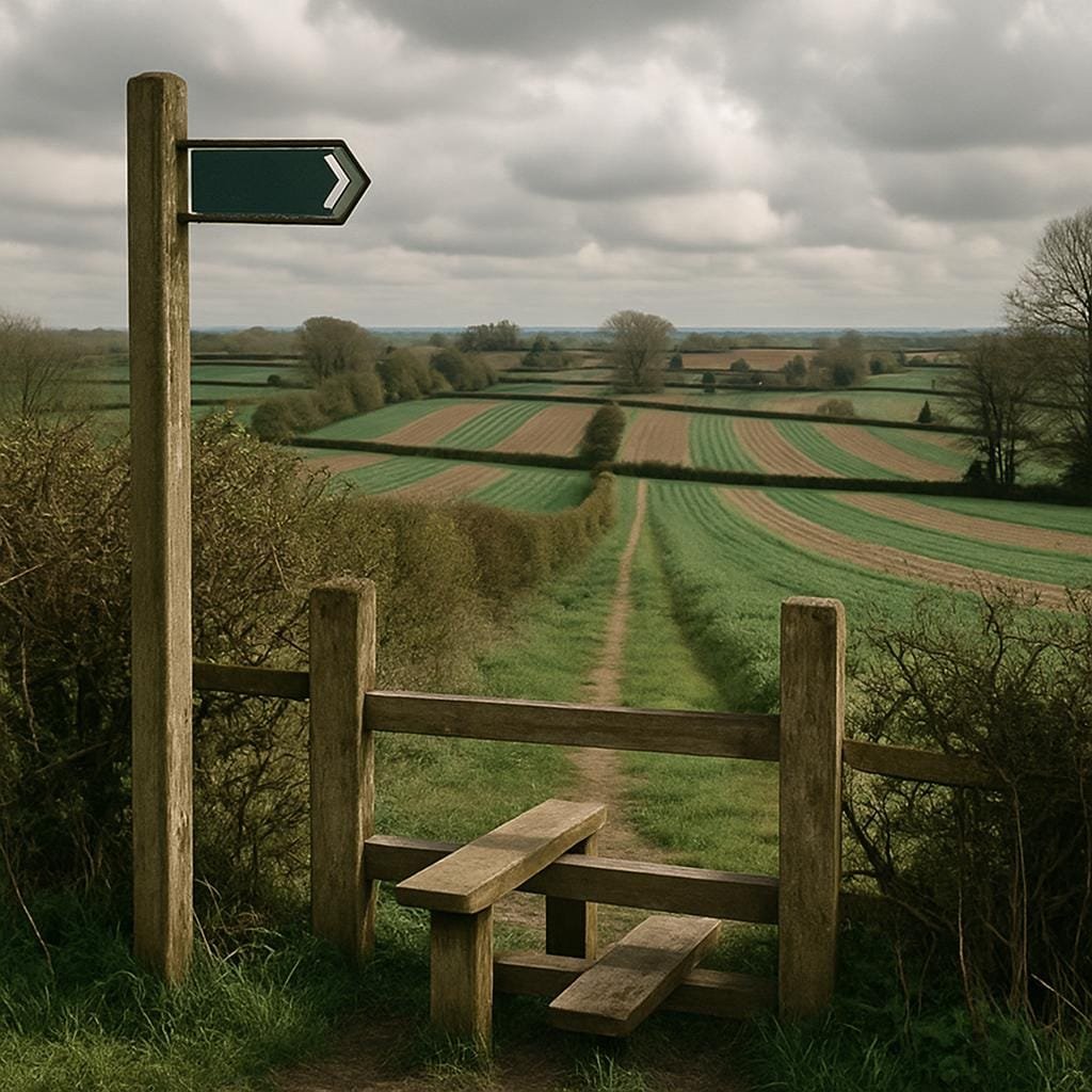
Many of those households were effectively invisible people. Domesday counts “villani”, “bordarii”, “cotarii” — villagers, smallholders, cottagers. We’re often talking about men with a strip or two in the open fields, some access to common grazing, and very little security. Walk up onto the high fields above Carsington today and you can still see traces of ridge and furrow under the modern grass. The pattern runs across the slope like a ploughed corduroy. In 1086 those ridges were work — days of hauling a heavy wooden plough behind a team of oxen, turning soil that could be thin and grudging.
One afternoon I stood there with an OS map and a photocopy of the Domesday entry. The text says, roughly: “Carentune: in Wirksworth hundred. Godwin had one carucate of land to the geld. Land for one plough. Now one villager and one smallholder have one plough.” That is a description of two households working land you can still walk in half an hour. I’d driven past it, repeatedly, without registering that I was skirting the edge of an 11th-century community where two families carried the tax load for a whole manor.
Exeter’s Domesday entry records 300 houses “less 48 which are destroyed”. That single line hints at the consequences of the city’s failed rebellion against William in 1068 and his subsequent siege.
If you stand on the city walls near Rougemont Castle, you are on the line where Norman power literally cut into the existing urban fabric. Some of those “destroyed” houses would have been within your field of view. We don’t know their owners’ names, but we know what happened to their property: it was cleared to make space for a royal fortress and its approach.
Later charters and archaeological work in Exeter show the resettling of some plots and the creation of new lanes. In Domesday, this is “48 houses destroyed”. On the ground, that’s dozens of families forced to move, find new work, rebuild ties in different parishes. The loss isn’t tidy. It’s someone’s old neighbour now living beyond the East Gate, someone’s former shop replaced by a gatehouse wall.
Domesday is often described as “a snapshot of England in 1086”. That phrase sounds deceptively neutral, as if we’re dealing with some kind of objective photograph. But like any big data project, it has biases baked in.
For a start, it is almost entirely about taxable value. If something didn’t contribute to royal income, it usually didn’t go in. That means no space for the lives of landless labourers, widows without holdings, or the people at the very bottom who might be lumped into a lazy “and others” at best. We get a richer picture of the estates of, say, Robert of Mortain than of the people who actually walked his fields.
Then there’s the way the survey was produced. Royal commissioners travelled around the country, sat with local juries of barons and freemen, and asked them set questions. Those juries had their own agendas. If you owed money, you might hope your neighbour “forgot” your extra acre. If you were trying to shift blame for a bit of forest encroachment, you might suddenly remember that, oh yes, actually that wood was always the king’s, honest.
The neat story says “Domesday recorded what there was”. A more accurate line would be “Domesday recorded what those with local clout were prepared to admit to royal officials”. It’s still enormously valuable, but we shouldn’t pretend it’s neutral. A peasant evicted from his holding and working as a hired hand on someone else’s land might vanish from the record, even though he’s still there in the village, complaining about his lord over an ale.
Every time I look at Domesday entries now, I try to imagine specific lives behind the categories.
Take the standard trio in many rural entries: “villani”, “bordarii” and “servi” (slaves). You’ll often see something like: “In this manor are 6 villani, 3 bordarii and 2 servi, with 4 ploughs.” That’s hierarchy written as a shopping list.
When we talk about “Domesday Book sites in England”, we usually mean castles, churches and towns. But many of the most revealing places are the quiet fields where these social divisions played out. The distance between the big house and the outer edge of the village tells you a lot about whose time was spent walking, and who had their work close at hand.
Some of the most unsettling Domesday experiences are in places that aren’t really places any more. Deserted medieval villages carry traces of earlier, smaller settlements recorded in 1086.
Take Wharram Percy in North Yorkshire, now managed by English Heritage. The Domesday survey mentions it briefly, wrapped into a broader estate. Later, it grows into a significant village, and then, after centuries of change, is gradually abandoned. When you walk its grass-grown streets you’re mainly seeing the later medieval village, but you’re also treading on an earlier pattern of tenements and tofts that older Domesday households would have recognised.
It’s easy to picture abandonment as a single dramatic event. In reality, families at Wharram Percy drifted away over decades, some pushed by sheep-farming landlords, some pulled by better wages in towns. By the time the last few households left in the 16th century, the Domesday villagers were already long gone — but the basic question remained: can this place still support a human life in the way it used to?
Stand near the ruined church, look out over the sloping fields, and it’s hard not to think about how many different times the answer to that question shifted. The Domesday valuation, the 14th-century population peak, the slow 15th-century contraction — all of them are decisions made in kitchens and yards, not in the margins of a survey.
I’ve ended up with a personal habit now: whenever I go somewhere new in England, I check its Domesday entry. Part of that is professional curiosity leftover from my museum days. Part of it is a way of asking “what sort of place was this when the Normans did their giant audit?”
Sometimes the answer is “a single miserable holding with one plough and not much else”. Sometimes it’s “a small town with dozens of burgesses and active markets”. Sometimes the place I’m standing in isn’t there at all — it grew later out of some hamlet that was too small or too awkward to record in 1086.
Looking at Domesday Book sites in England this way doesn’t make them more glamorous. If anything, it does the opposite. It strips away some of the tourist-board gloss and replaces it with awkward questions about who was taxed, who was moved, who ended up labelled “waste”.
Next time you walk through an English village that claims a “Domesday mention” on a heritage plaque, try this:
The Domesday Book is often described as the foundation document of English administrative history. That’s tidy, and a bit bloodless. I prefer to think of it as a written echo of hundreds of thousands of ordinary negotiations with land, animals, weather and authority. When you stand in one of the surviving Domesday Book sites in England and pay attention to the shape of the fields, or the way a path ducks behind a row of houses, you are still, in a very literal way, walking through those echoes.